Aloft Air Control Enterprise (per pilot)
Aloft Air Control Enterprise (per pilot)
Couldn't load pickup availability
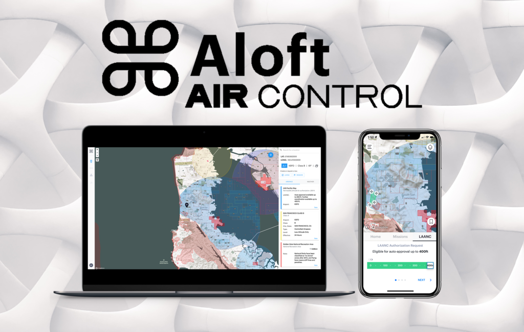
Aloft unifies the mission, aircraft, and data to make drone operations safe and reliable. Our
mission is to enable flight, and over the last eight years we’ve been honored to power some of the largest and most complex drone programs in the world.
Aloft is the largest FAA-approved UTM provider, powering over 80% of all airspace
authorizations in the US. Since 2018, Aloft has powered over 1 million LAANC requests (out of a total 1.3 million by the FAA) across recreational, commercial, government, and public safety drone pilots.
Our customer base includes Fortune 100 companies across key industries like energy, utilities, media, insurance, construction, real-estate, and engineering. We also have hundreds of public safety customers around the country from local police and fire departments to the Department of Homeland Security.
LAANC Authorizations: Provides real-time access to the FAA's LAANC system, enabling swift and compliant airspace authorizations.
Centralized Management: A unified platform that facilitates consistent oversight of drone
operations. It enhances collaboration among team members, ensuring operations are
organized.
Advanced Flight Planning: Tools to accurately and efficiently visualize and plan drone flights.
Enterprise-Grade Security: Air Control ensures top-tier cybersecurity measures. The platform boasts certifications like SOC 2 Type 2 and ISO 27001, safeguarding your data and operations.
Cross-Platform Accessibility: The platform is versatile and accessible across iOS, Android,
and the web. This feature ensures users can manage operations from any device, no matter where they are.
Custom Airspace Zones: Users can define and manage custom airspace zones tailored to
specific operational needs. This ensures safe and compliant drone flights.
Risk Assessments: The platform has built-in tools to evaluate potential risks associated with each flight, enhancing overall safety.
KML/GEOJSON Upload: Users can upload KML or GEOJSON files to define precise flight
boundaries and enhance flight planning.
Live Streaming: This feature facilitates real-time decision-making by offering live video feeds from drones.
Customizable Checklists & Risk Assessments: Ensures safety and consistency in operations with tailored pre-flight and post-flight workflows.
updated: 10/2024
Share


